Tel : 0-2653-8255 , 085-121-2301 | นำเข้าและจำหน่ายเครื่องมือสำรวจ Trimble & Nikon



เนื้อหา
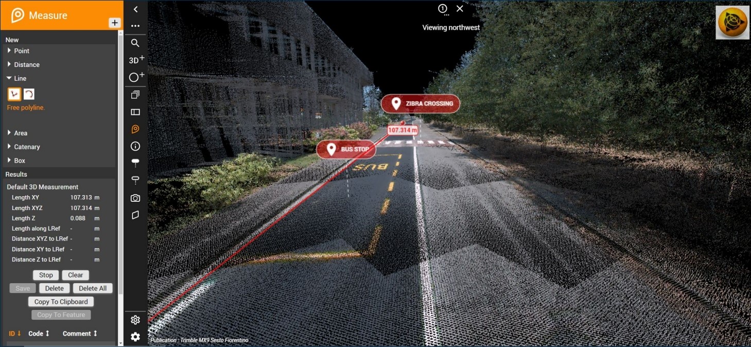
Road maintenance using Mobile Mapping System (MMS)
Road maintenance requires regular surveys. While surveying with a Total Station and determining positions using GNSS signals offers high accuracy, collecting data over several kilometers of roadway would still require significant time and labor.
The Mobile Mapping System (MMS) offers various technologies, including Lidar, Laser Scanning, and high-resolution360-degree cameras, each with its own strengths suited to different types of tasks. These technologies are ideal for collecting data on cracks, surface smoothness, potholes, classifying traffic signs, road markings, surveying light poles, power lines, and roadside structures.
Trimble provides a range of MMS options suitable for different applications, including the MX7, MX50, and the latest2024 model, the MX90, which combines all three technologies into one system, catering to every road survey need. It also includes analysis and data management programs that can help reduce survey times while providing data with higher accuracy and detail.
For more information on the Trimble MMS system, please visit