Tel : 0-2653-8255 , 085-121-2301 | นำเข้าและจำหน่ายเครื่องมือสำรวจ Trimble & Nikon

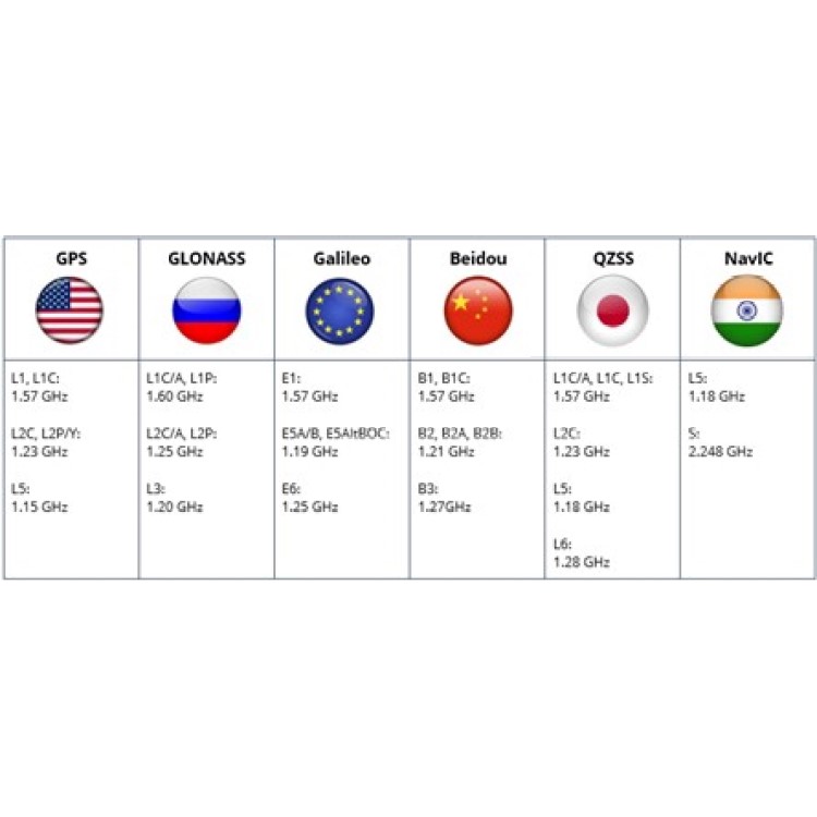

GNSS (Global Navigation Satellite System) receiver technology has advanced significantly in recent years. The number of receiver channels has been steadily increasing, with models offering 555, 672, or even up to 1668 channels. But did you know that the number of operational navigation satellites orbiting the Earth is only around 120 This raises an important question: Does having more channels actually mean better performance?
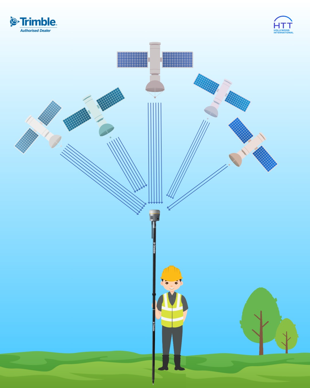
Since the Earth is spherical, about half of the sky is always obstructed from view at any given location. This means a GNSS receiver can only track a portion of the total satellites at a time. In practice, 299 channels are sufficient to handle all current GNSS signals. That’s why a receiver like the Trimble R980, which supports up to 672 channels, is more than capable of handling any GNSS tracking scenario.
The accuracy of GNSS positioning depends on several key factors:
-
Signal Processing Algorithms – Advanced algorithms help mitigate the effects of multipath interference and stabilize signal quality.
-
Correction Sources – Real-time corrections such as RTK or PPP enhance positioning accuracy significantly.
-
Signal Tracking Capability – The ability to track all satellite systems and signal frequencies increases the reliability and precision of the position fix.
While higher channel counts reflect the evolution of GNSS signals—which are becoming more complex and diverse—it doesn't necessarily guarantee better performance. What truly matters is the receiver's capability to support modern GNSS signals, combined with a powerful processing engine that delivers fast and precise results.
Receivers like the Trimble R980 offer all of this in one compact package: multi-constellation tracking, high channel count, and robust real-time processing—delivering unmatched performance in the field.
If you have to choose between Laser Scan and LiDAR Scan, it may not be an easy decision right away, as both technologies have different technological foundations.
Laser Scan
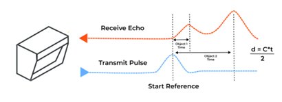
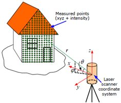
Laser scanning uses laser light to capture the geometric shape of objects by emitting laser beams onto surfaces and measuring the time it takes for the light to return. The distance is then calculated and used to generate a digital model, commonly known as a point cloud.
LiDAR Scan
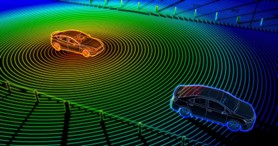
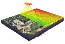
LiDAR (Light Detection and Ranging) is a remote sensing technique that scans an area by sending out laser pulses to measure distances and create a 3D map of the terrain. It captures reflected light and measures the time taken for the pulses to return, generating a point cloud representation of the scanned environment.
Comparison of Technologies
Use of Laser: Both technologies utilize laser light, but with different applications. Laser Scanning focuses on capturing fine details with high accuracy, whereas LiDAR is designed for large-area scanning and has better penetration capabilities.
Resulting Data: Both methods produce point clouds, but Laser Scan provides higher density and detail, making it ideal for structural modeling and inspection. Meanwhile, LiDAR data is similar to Synthetic Aperture Radar (SAR), offering lower resolution but covering larger areas more efficiently.
Laser Scan is best for high-precision and detailed modeling, such as structural analysis, inspection, and 3D visualization (VR applications).
LiDAR Scan is ideal for large-scale data collection and is widely used in vehicle-mounted systems, UAV-based terrain mapping, urban planning, and disaster monitoring.
Our company offers high-quality, industry-leading products and services. If you're interested in either of these technologies, feel free to contact us!
Why Does the Measured Distance from a Total Station Differ from the Design, Even After Calibration?
Have you ever wondered why sometimes the distance measured using a Total Station is either shorter or longer than the design, even after the instrument has just been calibrated at a service center? The longer the distance, the greater the discrepancy.
This phenomenon occurs because the Earth is an ellipsoidal shape. To represent the Earth's surface on a flat map, we use map projections. Since Thailand is located near the equator, it commonly uses cylindrical projections, such as the Mercator projection. This type of projection maintains straight meridians and parallels that intersect at right angles, preserving direction and shape. However, the accuracy is highest near the point of tangency, while distortions increase as the distance from this point grows.
One key factor in geodetic surveying and mapping is knowing the exact Scale Factor, especially when converting between flat coordinate systems and geodetic coordinate systems. Proper scale factor application ensures accurate coordinate calculations and corrects discrepancies between real-world distances and their mapped equivalents.
🔸 Three Types of Scale Factors 🔸
-
Grid Scale Factor (GSF):
This factor adjusts real-world distances to match distances within a projected coordinate system, such as UTM (Universal Transverse Mercator). Since flat maps cannot directly represent curved Earth distances accurately, the GSF helps correct this discrepancy. -
Elevation Scale Factor (ESF):
The ESF accounts for variations in elevation. Because measurements taken at different elevations experience different distortions, this factor adjusts for height differences. -
Combined Scale Factor (CSF):
This is the product of GSF and ESF, used for high-precision applications such as infrastructure construction, pipeline installation, or railway surveying.
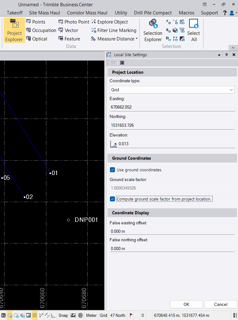
Modern surveying software, such as Trimble Business Center, simplifies Scale Factor calculations by automatically adjusting GSF and ESF based on input data. This allows surveyors to achieve highly accurate distance and coordinate calculations in a short amount of time.