Why Does the Measured Distance from a Total Station Differ from the Design, Even After Calibration?
Have you ever wondered why sometimes the distance measured using a Total Station is either shorter or longer than the design, even after the instrument has just been calibrated at a service center? The longer the distance, the greater the discrepancy.
This phenomenon occurs because the Earth is an ellipsoidal shape. To represent the Earth's surface on a flat map, we use map projections. Since Thailand is located near the equator, it commonly uses cylindrical projections, such as the Mercator projection. This type of projection maintains straight meridians and parallels that intersect at right angles, preserving direction and shape. However, the accuracy is highest near the point of tangency, while distortions increase as the distance from this point grows.
One key factor in geodetic surveying and mapping is knowing the exact Scale Factor, especially when converting between flat coordinate systems and geodetic coordinate systems. Proper scale factor application ensures accurate coordinate calculations and corrects discrepancies between real-world distances and their mapped equivalents.
🔸 Three Types of Scale Factors 🔸
-
Grid Scale Factor (GSF):
This factor adjusts real-world distances to match distances within a projected coordinate system, such as UTM (Universal Transverse Mercator). Since flat maps cannot directly represent curved Earth distances accurately, the GSF helps correct this discrepancy. -
Elevation Scale Factor (ESF):
The ESF accounts for variations in elevation. Because measurements taken at different elevations experience different distortions, this factor adjusts for height differences. -
Combined Scale Factor (CSF):
This is the product of GSF and ESF, used for high-precision applications such as infrastructure construction, pipeline installation, or railway surveying.
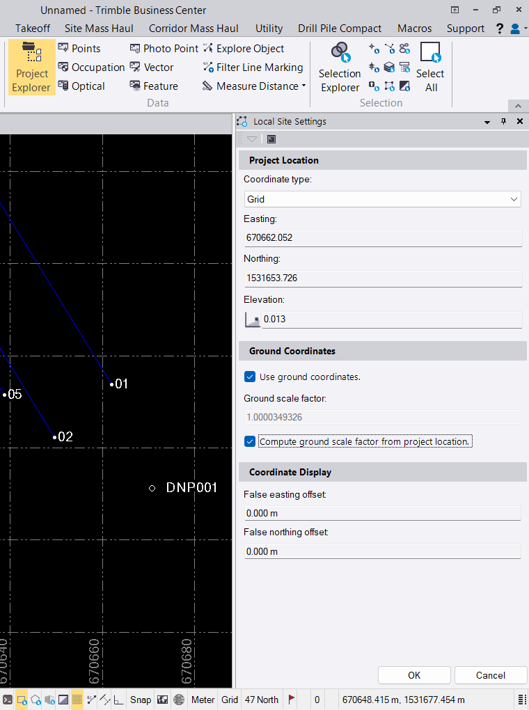
Modern surveying software, such as Trimble Business Center, simplifies Scale Factor calculations by automatically adjusting GSF and ESF based on input data. This allows surveyors to achieve highly accurate distance and coordinate calculations in a short amount of time.
